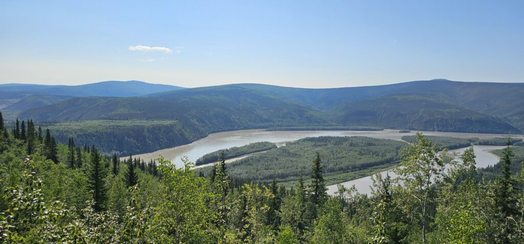
It was a beautiful start to the day. The sun was bright, and the air embraced us with warmth. We had a few more places to see in Dawson City, and then we were off to Alaska.
Alaska.
The whole purpose of this epic summer vacation was to see Alaska. Charlene has wanted to visit Alaska for as long as she can remember. While in Dawson City, Yukon, we encountered many people who loved travelling. I was impressed by how many have discovered the joys of exploration like we do. When we waited for a tour, people would start talking about the places they had been to, and it did leave me a bit jealous, being so early in the game of “Most Places Visited.”
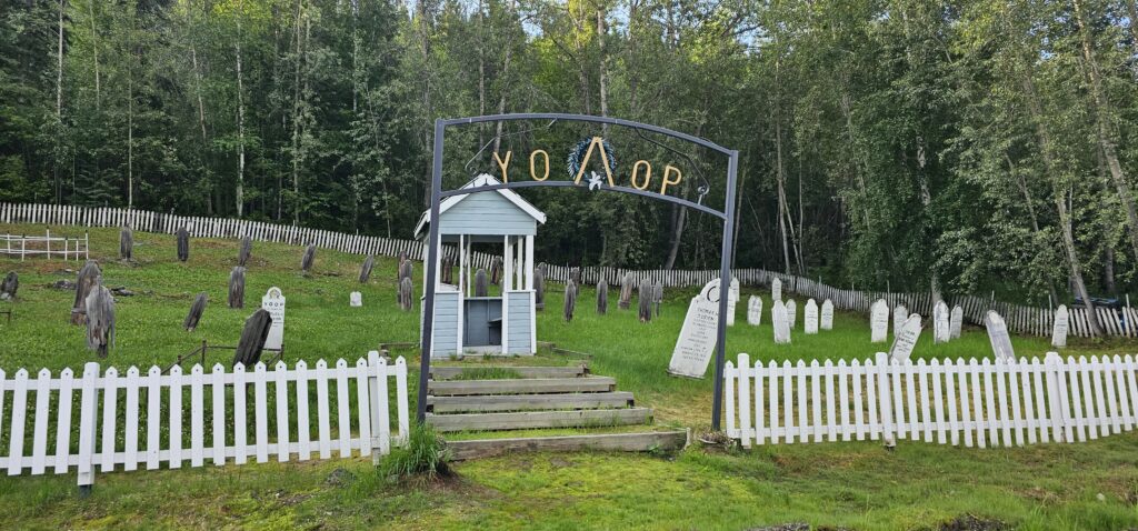
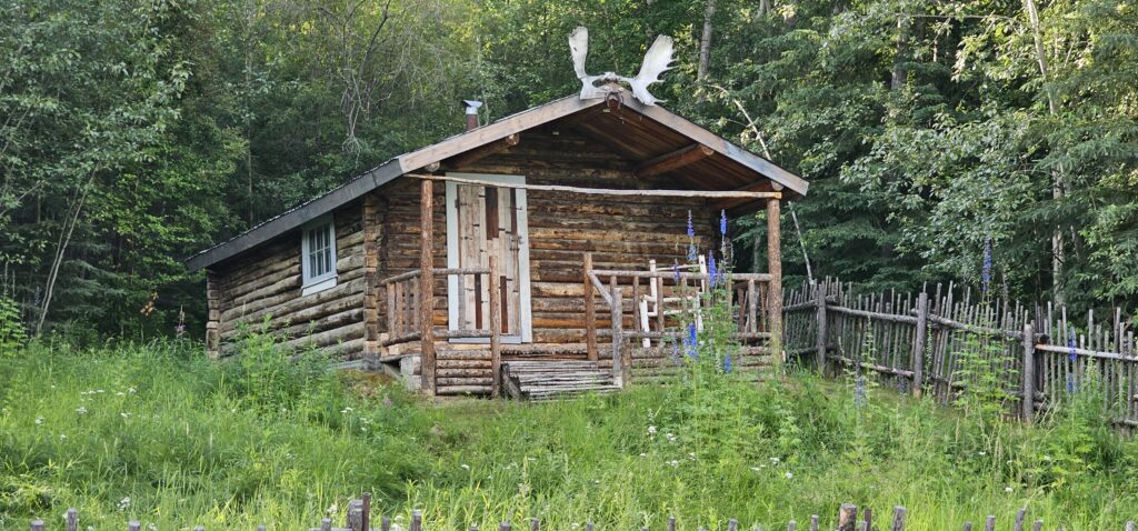
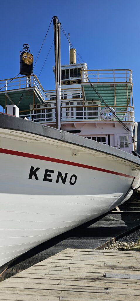
One last time, we toured this iconic city of the Canadian North, stopping in at a cemetery, an old home, and the S.S. Keno. Keno was a boat that serviced the area. In one direction, it would bring tourists; on the other, it carried freight. This method of travel fell out of favour when air travel and roads became more practical. Only a few of these relics remain; even fewer are left to tour.
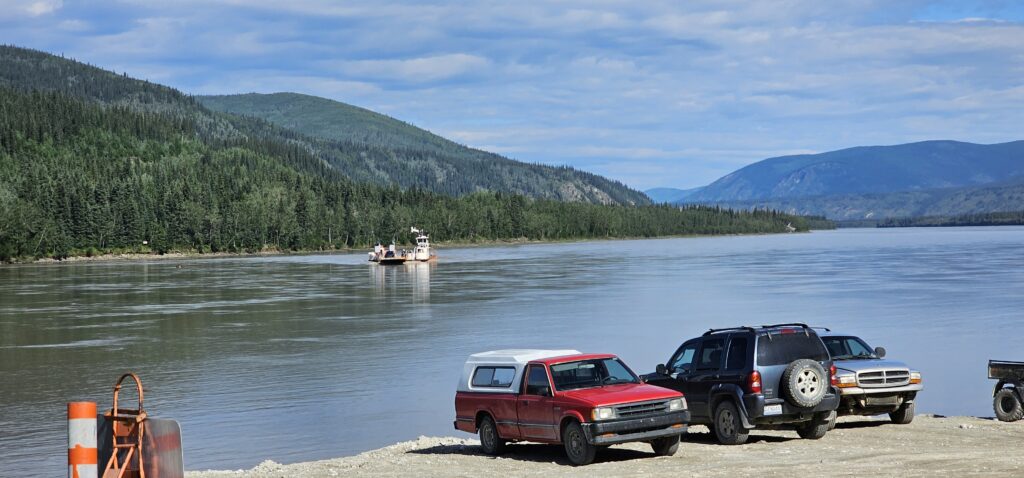
When we were ready to leave Dawson City behind and begin our final leg into Alaska, we needed a free ferry ride across the Yukon River. It is a short journey but one that is very popular. A campground is across the river, and during some times of the day, the demand for a ride can be large. We arrived at the right time, as the ferry was coming across, and there was a minimal line.
In my original plan for our Alaskan journey, I wanted to camp at the Yukon River Campground. It is a large campground but requires crossing the ferry every time. I chose to camp at Klondike River Campground instead. This location was farther from Dawson City but on the side of the river where we could drive and not queue up for a river crossing. After crossing on the ferry, we decided to see what this campground was like and entered. At Yukon River Campground is a Paddlewheel Graveyard where many old boats, like the S.S. Keno, lie rotting. We tried to see it, but it required getting our feet wet, and we still had a long journey ahead of us. We opted out.
One of the places we wanted to visit was Forty Mile. Forty Mile is a long abandoned village on the Yukon River. During the planning phase of this Alaskan trip, this location required a lot of time for research. Forty Mile is a very remote location. I needed to find the right road to it and learn about the quality and condition of the road. Plus, I needed a contingency plan if something went wrong and we became stranded. Forty Mile would have been the most inaccessible location we would ever explore, and I wanted to be prepared for any eventualities.
I was ready.
I was eager.
I was all set to go.
But…
The morning before, we visited the Visitor Centre in the centre of Dawson City. Our purpose there was to get some pans to pan for gold. These are provided for free, and the location where we went to strike it rich was also freely accessible. We did not find a single flake of gold, but it was fun trying. I had also asked for information on getting to Forty Mile when I learned that it was destroyed in the spring thaw and flood. All the buildings were levelled.
There was no point in going to that distant location.
I was disappointed because of the amount of planning involved and because we would never find a place so far remotely remote as this ghost town.
Of course, we needed to continue on our journey. The Top of the World Highway is a must-travel; it remains one of my favourites.
There was a time when I would try to get from destination to destination with the shortest time and distance involved. I only wanted to see as much as possible without wasting time in a car.
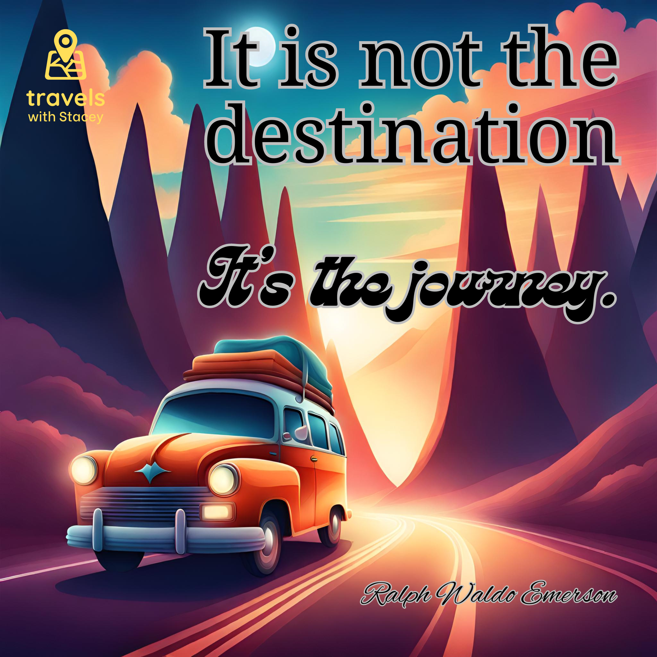
But there is a well-known travel saying: It is not the destination; it’s the journey.
This is a true statement. I discovered the meaning behind this on a previous trip when we were searching for The Biggest Tree in West Virginia. We spent a lot of time driving to it, and I had initially considered not seeing this because of the amount of time “wasted” driving. I eventually considered going because where else would we see the biggest tree in the state? In doing so, we discovered the winding roads through the forests, up and down the mountains, to be entertaining. The scenic drive (the journey) was as great, if not better than the destination.
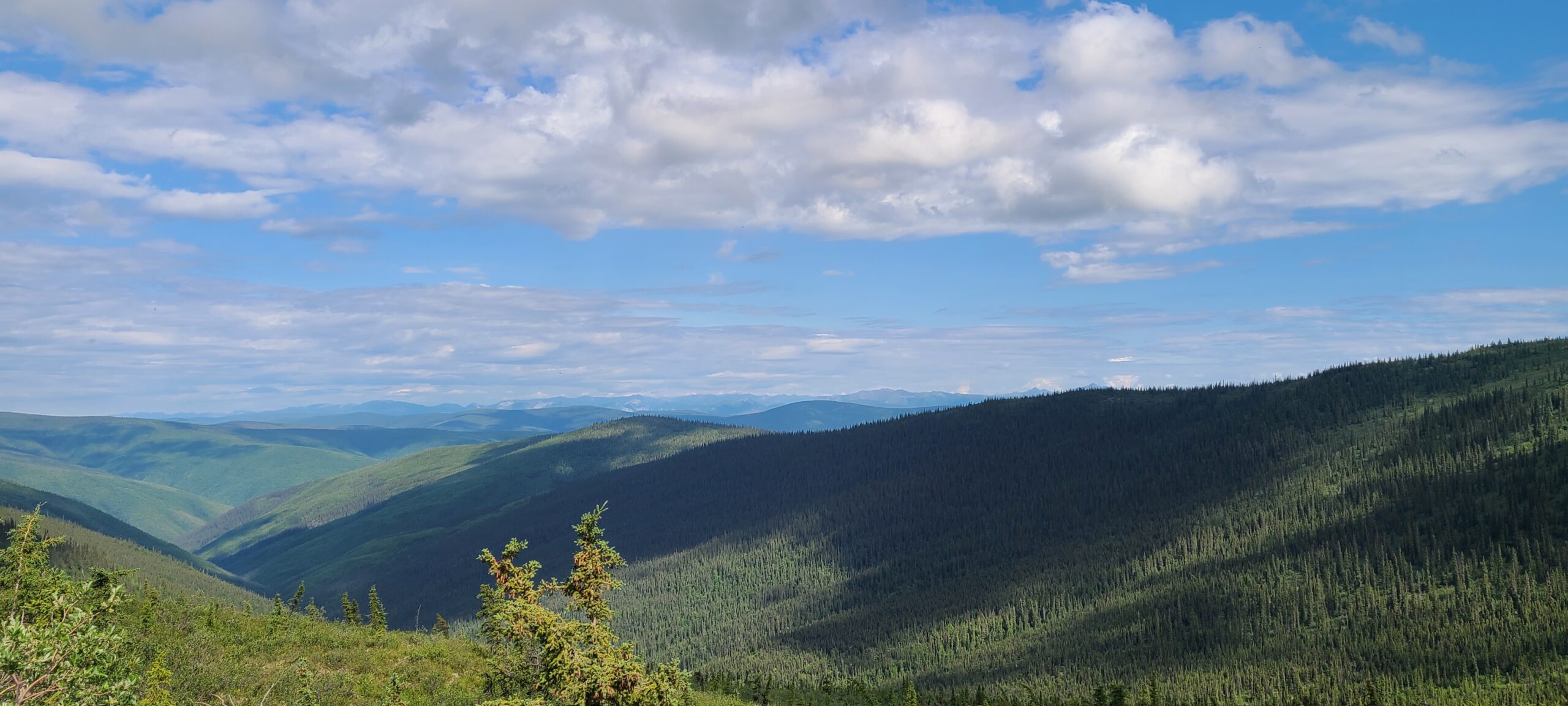
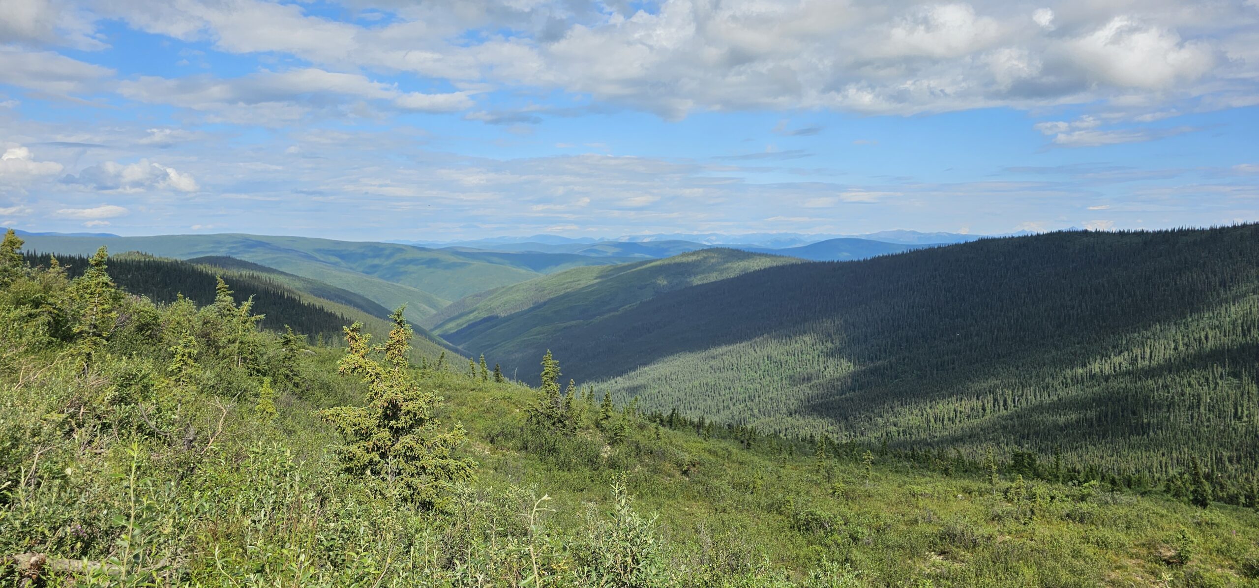
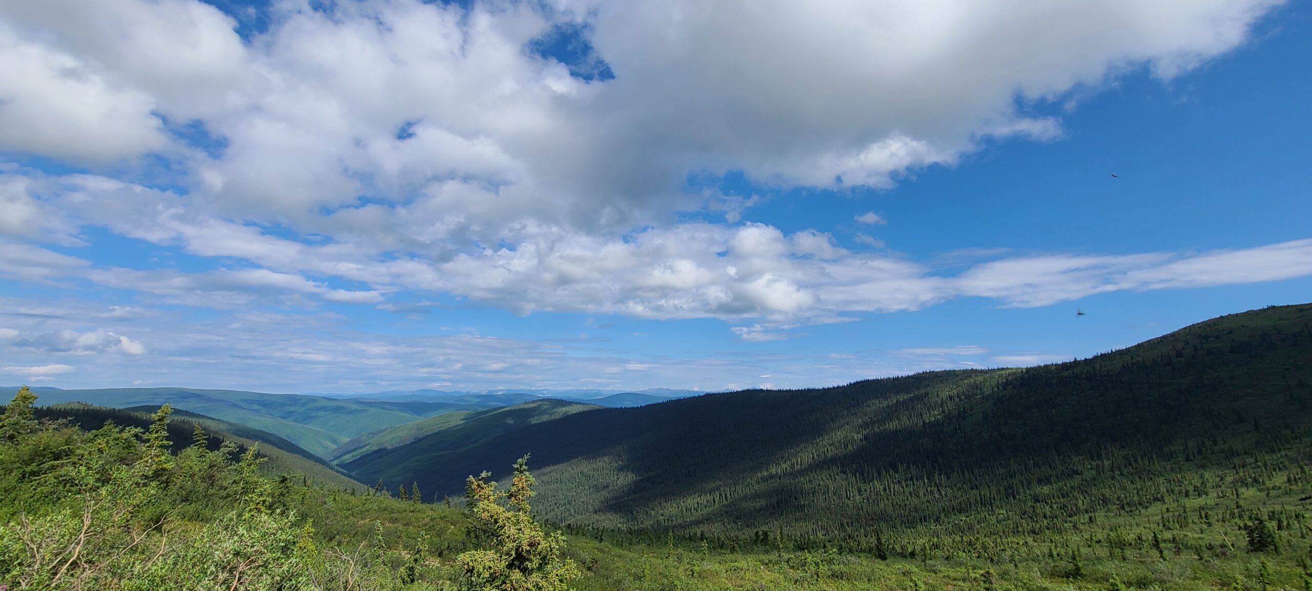
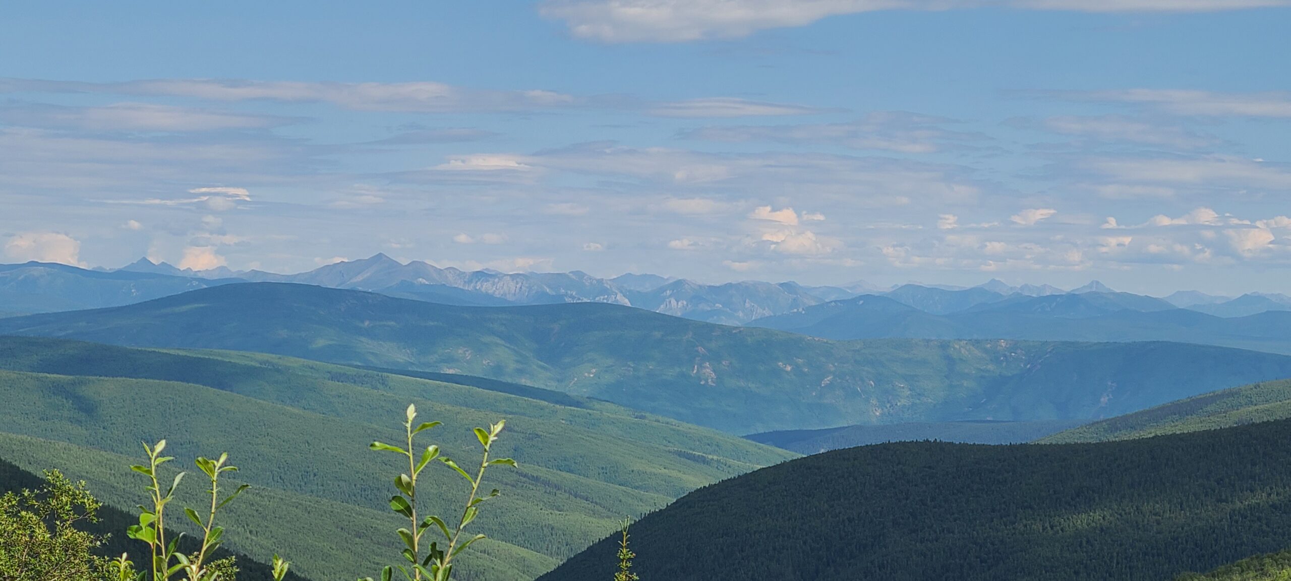
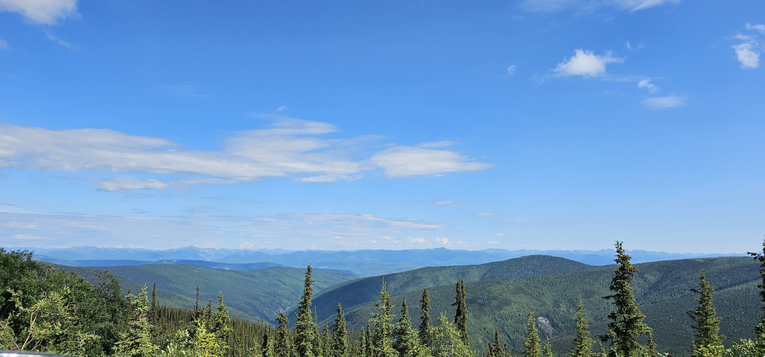
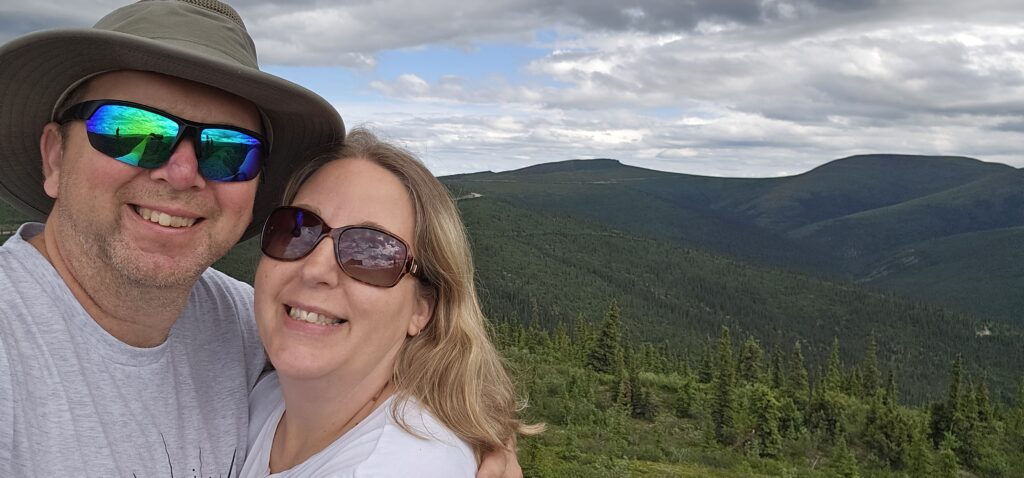
We would drive on the Top of the World Highway and eventually pass the turning point for Forty Mile. I lamented that we were missing this location, but we had fun. I cannot count how often we stopped to take pictures and admire the view. What we were seeing was a vast wilderness where it was unlikely that there were any other humans in our view.
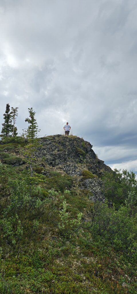
Jokingly, I said we should climb that peak and say we climbed a mountain. We had been driving up and down the sides of these mountains and reached a high point with a small area to park. Charlene accepted my challenge, and we stepped out and walked up the path a short distance. We are now mountain climbers.
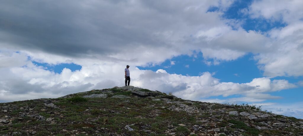
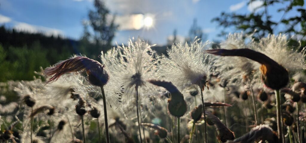
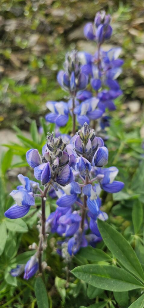
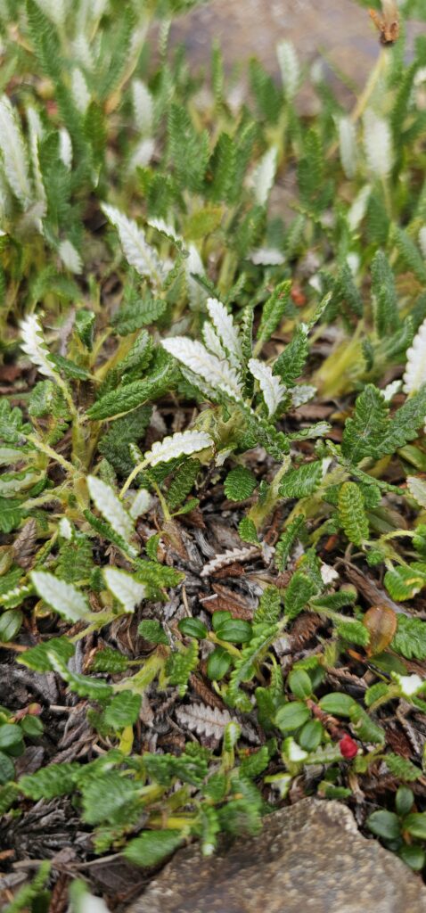
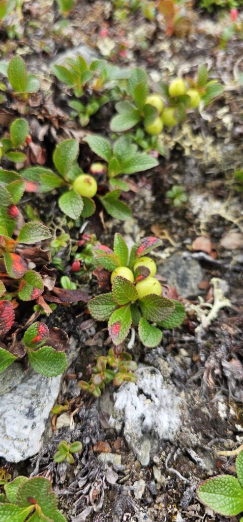
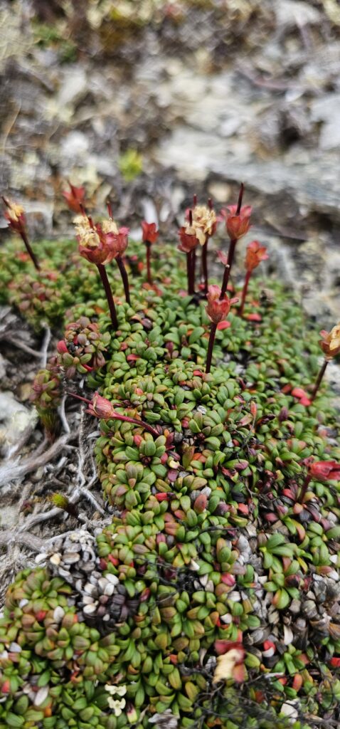
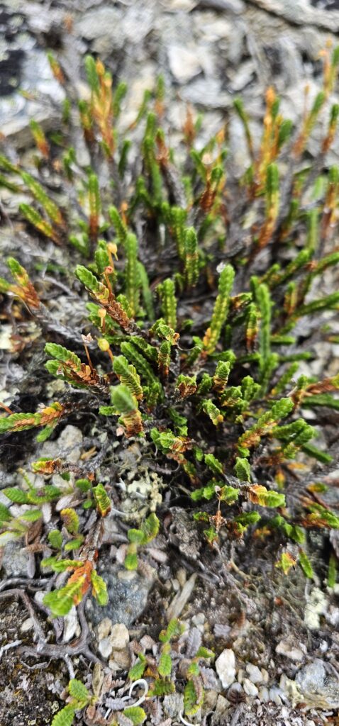
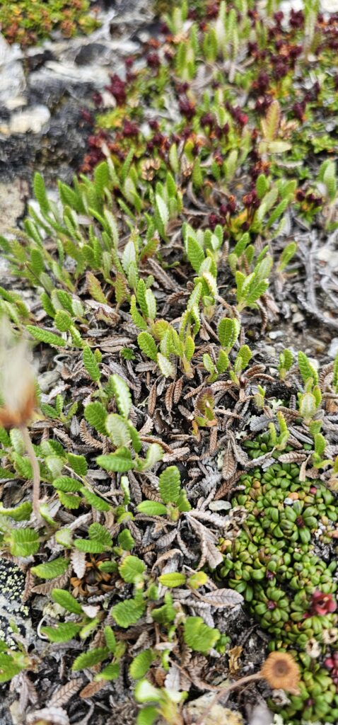
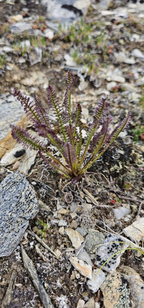
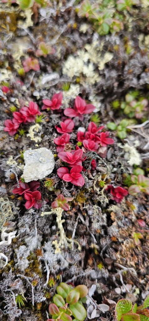
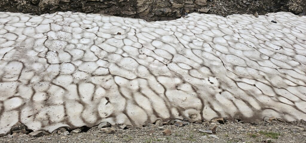
Although we were not going to travel into the tundra, the area we were in was considered to be alpine tundra, and it had the same look and feel as the tundra farther north. It was interesting walking on the ground. It was like walking on a sponge since there were so many plants covering the ground.
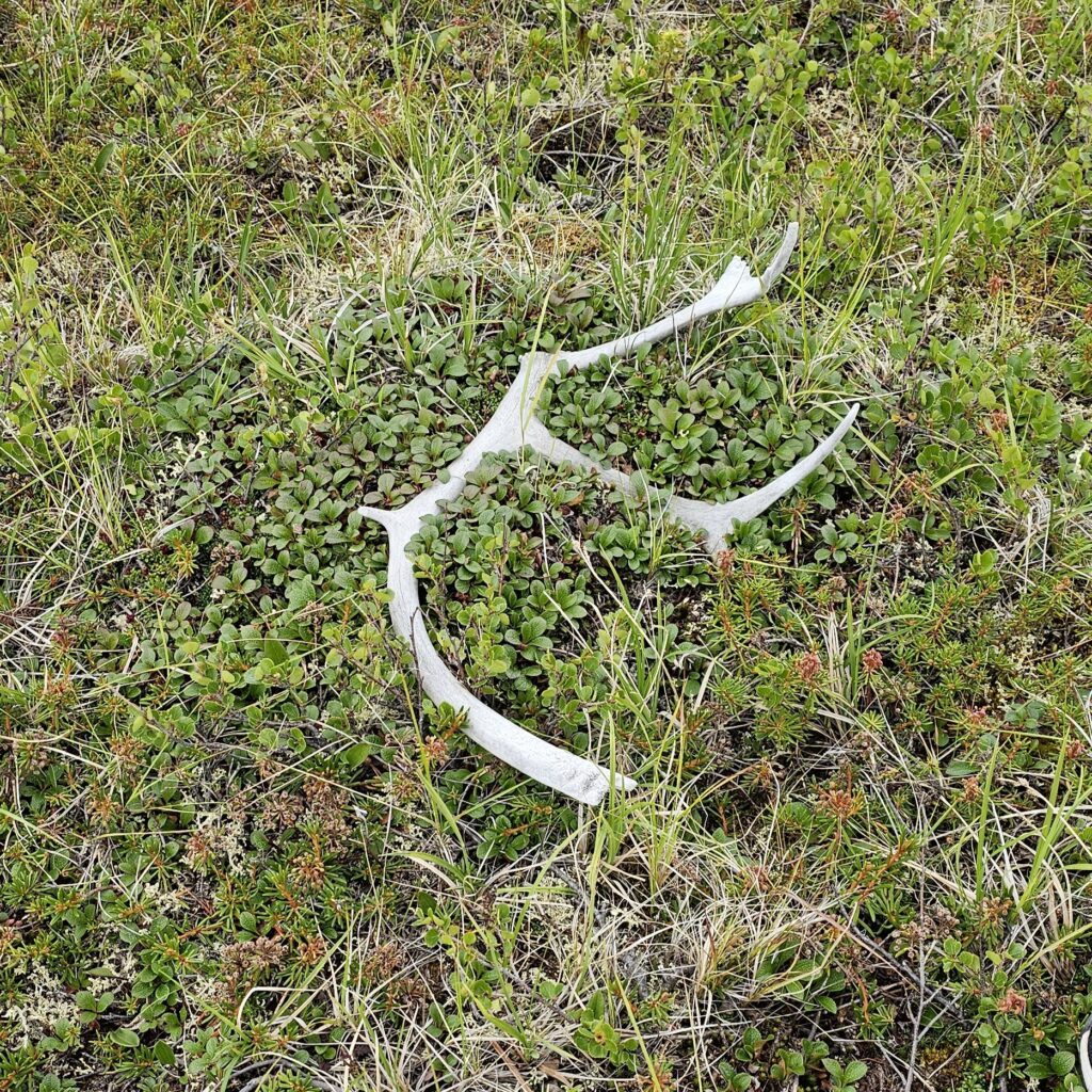
There I found it.
I could not believe what I saw.
An antler.
So often, we wondered if we would ever stumble upon these. Today, we did.
It is a caribou and has seen better days, but it became the one souvenir that completely memorializes this trip.
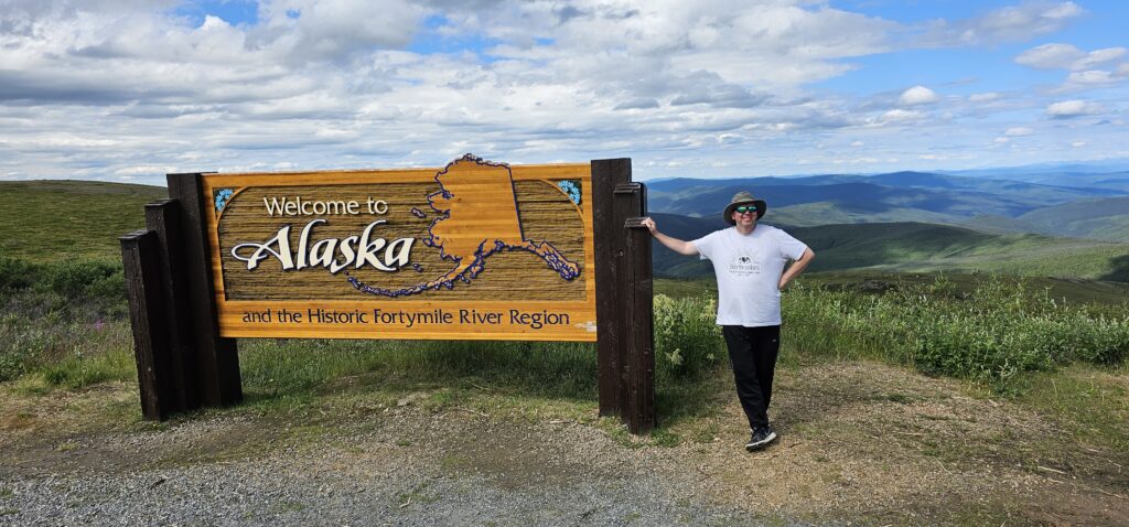
We started ahead of schedule, but now that we kept stopping, our schedule began to suffer, and I wanted to get to the next campground in time. The border to Alaska and its crossing was easy. It took only a few minutes, and we were now at our intended destination.
After a few kilometres of driving on the American side of the Top of the World Highway, we noticed the road was considerably rougher, narrower, and more challenging with all the turns. Plus, there needed to be more space to stop and pull over to look at anything.
We quickly came upon other tourists who were pulling trailers. The road conditions required them to travel slowly. There was little opportunity to pass them. Although the scenery was more rugged, the road and its narrowness did prevent us from stopping and looking around. It is a shame since there were many great views that we could only see by driving past them instead of getting out and exploring.
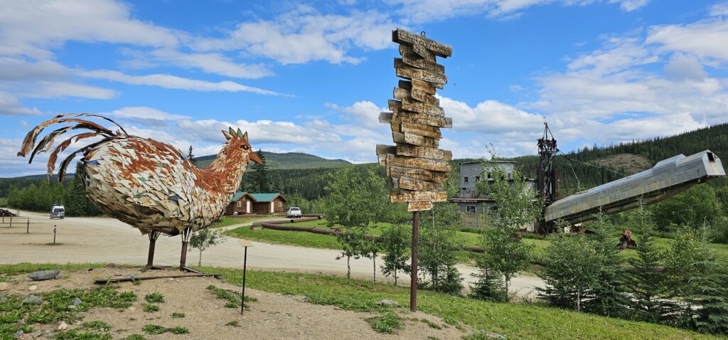
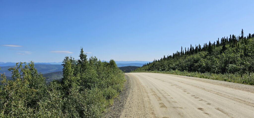
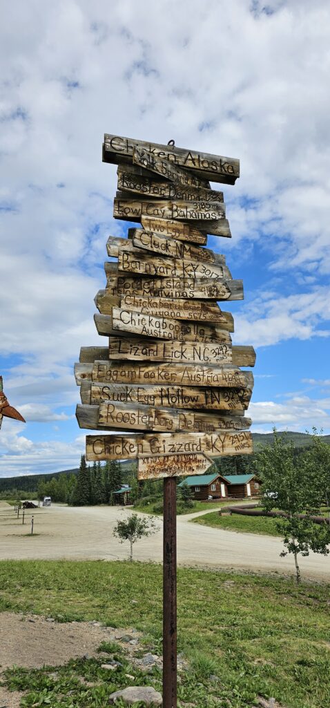
We would arrive in a town called Chicken. It had a remarkably large gift shop for this in-the-middle-of-nowhere location. After Chicken, the road would become paved. From Dawson City to Chicken, it was a dirt road.
We would arrive at our campground and find ourselves to be the only ones there. It was nice to enjoy this unique space and amazing road with each other. We had finally arrived in Alaska.
- Top of the World Highway is only open seasonally.
- The majority of the road is gravel.
- The Canadian side is wider and easier to drive. The American side is narrower and requires slower driving for trailer pullers because of sharper turns and small hills.
- When we travelled on this highway, we encountered only two vehicles coming from Alaska to Yukon. The general flow of traffic was from Yukon to Alaska.
- There is no cell phone reception at all along this highway.
- It is impossible to get lost since few other roads intersect with this highway.
- To find this and all the other locations we have visited, check out the Featured Map for directions.
- To see the original map of our Alaska trip, click here. Some of the places we could not go to (for various reasons), and some areas we added which are not included in this map. To see those, click on the Featured Map.
- The original itinerary for this trip can be seen here. It does not include sites that we added on.